

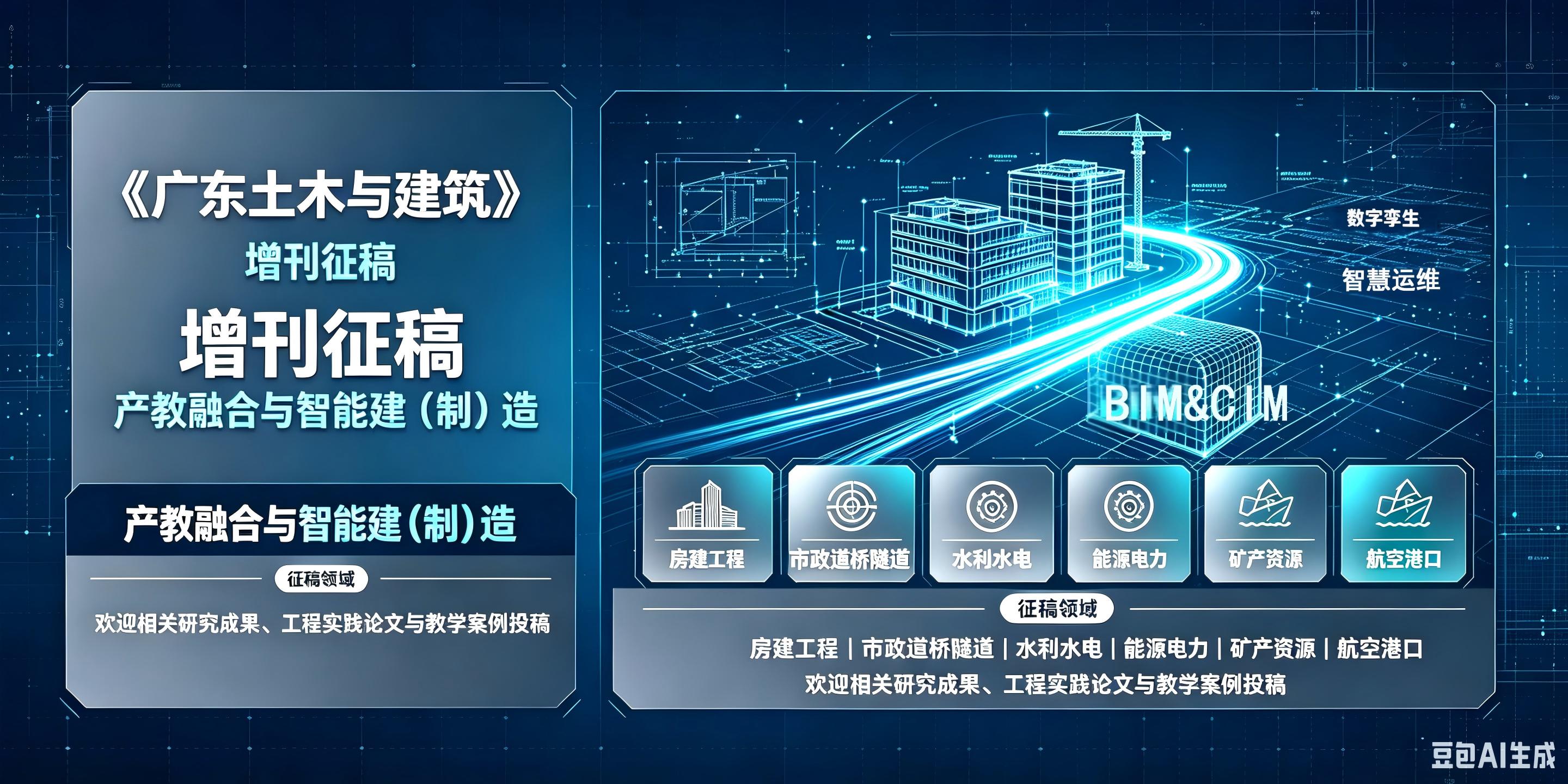
欢迎全国范围内高校团队、企事业单位技术人才加入!
欢迎关注微信公众

网站访问量
总访问量:
696,310
今日访问量: 46
今日访问量: 46

科普小视频-建筑物防灾减灾之防雷篇
协办单位
广东省建筑设计研究院有限公司、广州湾区建工有限公司、广东省第四建筑工程有限公司、中交四航局第二工程有限公司、广东省广建设计集团有限公司、广东省第五建筑工程有限公司、深圳市宏源建设工程有限公司、广东华隧建设集团股份有限公司、广东省建筑工程机械施工有限公司、广东保辉建筑工程有限公司、中誉设计有限公司、广东省城乡规划设计研究院有限责任公司、广东建科建筑工程技术开发有限公司、广州市盛通建设工程质量检测有限公司、广东省冶金建筑设计研究院有限公司、珠海大横琴城市新中心发展有限公司、珠海大横琴股份有限公司
(以上排名不分先后)
审稿信息动态
《广东土木与建筑》刊内文献检索
信息展示

2026年09期
信息化与绿色智能
基于云-边-端协同的桩基钻芯检测智慧系统构建及应用
Construction and Application of an Intelligent Pile Core Drilling Inspection System Based on Cloud-Edge-End Collaboration
林海铭; LIN Haiming;针对桩基钻芯法检测行业监管的深层次需求,构建了一套基于“云-边-端”协同架构的智慧管理系统。系统攻克并集成了智能设备接入、视频流拼接、多模态数据融合、端到端数据安全等关键技术,开发了WEB端全流程管控平台与移动端现场智能化作业应用。工程实践表明,该系统实现了检测过程的全链条智能监控与数据可信溯源,有效提升了钻芯检测工作的安全性、效率与质量管理智能化水平,为革新传统检测监管模式提供了完整的技术解决方案与工程实践参考。
To address the in-depth regulatory requirements of the pile core drilling inspection industry,this study develops an intelligent management system based on a cloud-edge-end collaborative architecture. The system integrates four key technologies: intelligent device access,video stream stitching,multi-modal data fusion,and end-to-end data security. A dual-terminal collaborative application was developed,comprising a web-based full-process control platform and a mobile application for intelligent on-site operations. Engineering practice demonstrates that the system achieves full-chain intelligent monitoring of the inspection process and trusted data traceability,effectively enhancing the safety and efficiency of core drilling inspection work and the level of intelligent quality management. It provides a comprehensive technical solution and a practical engineering reference for innovating traditional inspection and regulatory models.
基于数字化技术对山岭场地勘察常见问题解决方案
Solutions to Common Problems in Mountainous Site Investigation Based on Digital Technology
刘琦;贾海鹏; LIU Qi;JIA Haipeng;随着城市空间拓展向复杂山地区域延伸,大面积山岭场地的综合性工程勘察面临勘察精度不足、关键地质问题漏判、多标准融合困难及勘察设计脱节等一系列挑战。以深圳市某大型山地综合开发项目为依托,系统剖析了此类场地在技术方法、组织协调及成果应用中的典型问题。研究提出并实践了一套以数据驱动为核心的数字化综合解决方案:集成卫星遥感、无人机航测、地面物探与钻探的“空-天-地”一体化勘察技术,实现多源数据融合与地质体精准识别;基于此构建了服务于全生命周期的精细化三维地质信息模型;进而建立了以该模型为共同基底、支持动态迭代的勘察-设计协同机制。应用表明,该方案显著提升了地质探查的效率和精度,有效支撑了土石方平衡、地基基础选型、边坡治理等差异化设计,实现了岩土工程数据的无损传递与价值延伸,为同类复杂山岭场地的勘察与建设提供了系统的技术路径和方法参考。
As urban expansion extends into complex mountainous regions,comprehensive engineering investigation of large-area mountainous sites faces multiple challenges, including insufficient investigation accuracy, failure to identify key geological problems, difficulties in integrating multiple standards,and a disconnect between investigation and design. Drawing on a large-scale comprehensive mountainous development project in Shenzhen,this study systematically analyzes the typical problems associated with technical methods,organizational coordination,and application of results at such sites.We propose and implement a data-driven, integrated digital solution: an integrated space–air–ground investigation technology that combines satellite remote sensing,UAV-based aerial surveying,ground-based geophysical exploration,and borehole drilling to achieve multi-source data fusion and accurate identification of geological bodies. On this basis,a refined three-dimensional geological information model(3D GIM) is constructed to support the entire project life cycle. Furthermore,a collaborative investigation–design mechanism that supports dynamic iteration is established,with this model as the shared digital foundation. Application results show that this solution substantially improves the efficiency and accuracy of geological exploration, supports differentiated design for earthwork balancing, foundation type selection, and slope treatment, and enables lossless transfer and value enhancement of geotechnical data. This approach provides a systematic technical pathway and methodological guidance for the investigation and construction of similar complex mountainous sites.